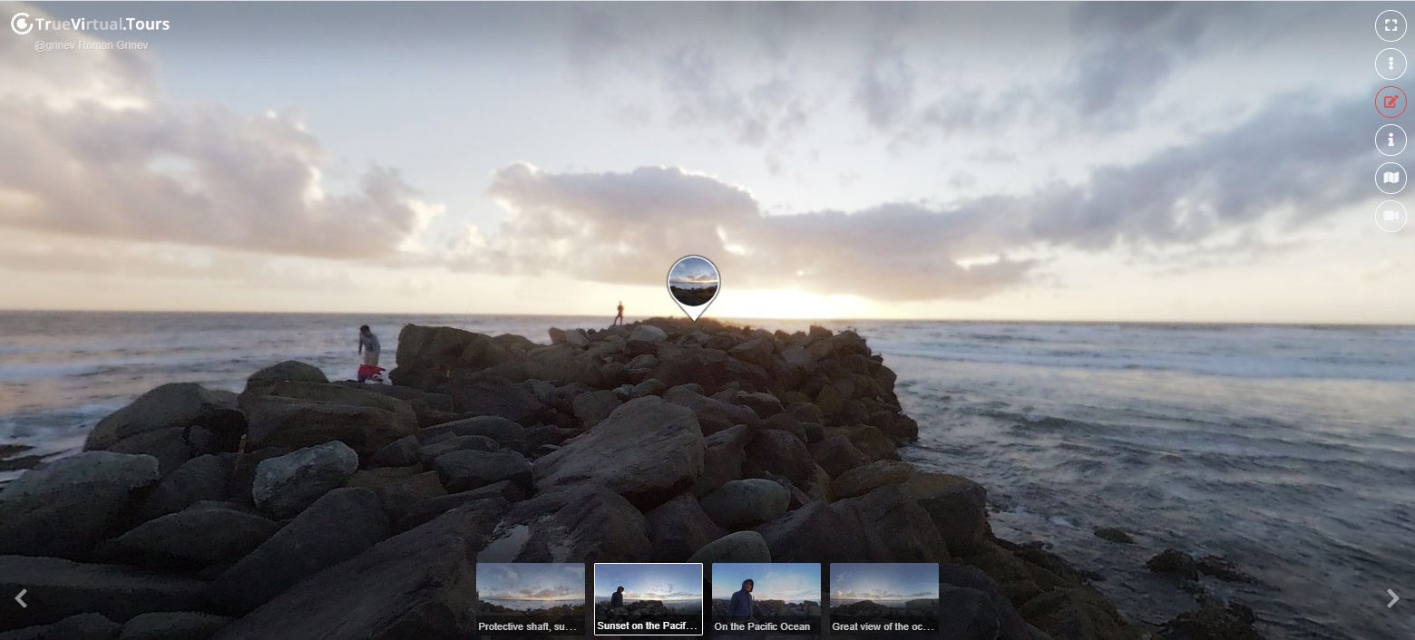
Ingulets is the right tributary of the Dnieper
Ingulets, Maliy Ingul (ukr. Ingulets) - a river in the territory of Ukraine, the right tributary of the Dnieper (Black Sea basin).
Flows through Kirovograd, Dnepropetrovsk, Nikolaev, Kherson regions. The ancient Greeks - Geros. In the Türk Ingul - Yeni-gel (Turkic) - New Lake. In the river basin is Krivoy Rog iron ore basin. Hydronym of Turkic origin. Perhaps related to the tour. äŋgül
1) "quiet, lazy"; 2) also the name of the river.
However, you can raise the issue of addition with the tour. göl "lake", compare Tiligul. In this case, the first part could contain or tour., Chagat., Uig., Kazakh., Crimea. Tat., Kypch. in "cave" or tour., Uig. än "wide", tat., head. in, Kazakh. en The length of the river is 549 kilometers. The source of the river is located in a boggy gully near the village of Topilo, Znamensky District, Kirovograd Region, at an altitude of about 175 meters. In another source, the sources of the river forming the Ingulets are indicated in the area of the shl. Elisavetgradka, Kirovograd region, and were called Ingulets (Ingulce) [2]. Flows through the Dnieper Upland on the territory of the Kirovograd and Dnepropetrovsk regions of Ukraine. In the lower course it flows through the Black Sea lowland within the Nikolaev and Kherson regions of Ukraine. Below with. Nikolskoye (Belozersky district, Kherson region) Ingulets forms an estuary up to 1 km wide and flows into the Dnieper with several arms 45 km from the mouth of the latter, near the village of Garden. In the middle of the mouth is the island of Somov [3]. From the mouth of the Ingulets to Kherson, 20 km along the bed of the Dnieper. The upper course of the Ingulets is a series of lake-like or marshy reservoirs, connecting only during spring floods or after heavy rains. Until Alexandria, the river flows in a narrow ribbon, the shores of which are overgrown with reeds. The left bank is rocky in some places. In the area of Krivoy Rog, the width of the river is about 40 m, the depth is up to 1.7 m. The reservoir built in Krivoy Rog is formed on the site of the exit of granite outcrops and Ingulets rapids.
In the middle course the river flows in rocky shores, there are many rifts, rapids (man-made) - which are destroyed dams and road bridges.
Below Krivoy Rog Ingulets is eroding sedimentary rocks.
The course in the upper reaches is straightened, in the middle and lower reaches it is very tortuous, but not branched. Characterized by loops 5 - 7 km long, almost returning to the starting point. From source to mouth Ingulets forms 55 meander. Further, the width of the river increases slightly, reaching 100 m to the Snigiryovka, and 120 m at the mouth. The depth in the reaches can reach 5 m. The bottom is sandy.
296
26
360° panoramas of this virtual tour, page 1
-
 today
todayJohn Smith
How to create a virtual 3D tour? Step-by-step instruction
The order is as follows: 1) upload to the site spherical panoramas from which you plan to create a virtual tour; 2) from the list of uploaded panoramas add each panorama to the virtual tour (Add to 3D tour link); 3) open the created virtual tour, edit the panorama order, select the main panorama, set transition points (tunnels).
Learn more